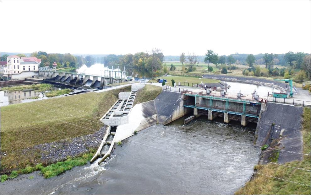
S. Sakowicz Inland Fisheries Institute progressing on work packages 1, 2 and 4
May 22, 2017
Driving forward with connectivity in Milan: 2nd AMBER General Assembly
August 10, 2017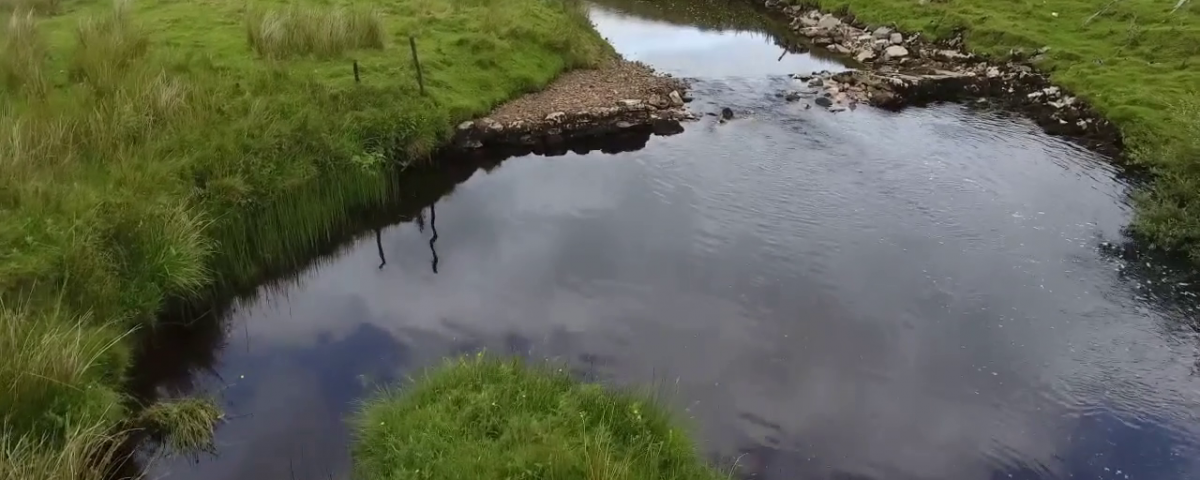
Authors
Patrice Carbonneau
Jeroen Tummers
Shobhit Pipil
Jeroen Tummers
Shobhit Pipil
Small Unmanned Aerial Systems (sUAS), otherwise known as drones, have recently become a common source for aerial imagery in both the civilian and scientific sectors. A key development in the last 5 years is the appearance of mass-produced drones aimed at the hobby and semi-professional photography and videography markets. Their popularity and spectacular sales has created a viable market for drones that now includes a range of features such as on-board GPS, autopilot navigation, mechanical image stabilisation and moderate quality imaging sensors. Structure from Motion (SfM) photogrammetry is a parallel development that is transforming the production of 3D terrain models from images acquired from both drones and manned aircraft. The combination of low-cost drones and SfM photogrammetry is now allowing for airborne monitoring at a cost which is two orders of magnitude lower when compared to the cost of traditional airborne monitoring carried out from manned aircraft. Durham University, partners in the AMBER consortium, has a decade-long experience with these methods and has been at the forefront of many key developments in the area of drone mapping applied to a range of environments.
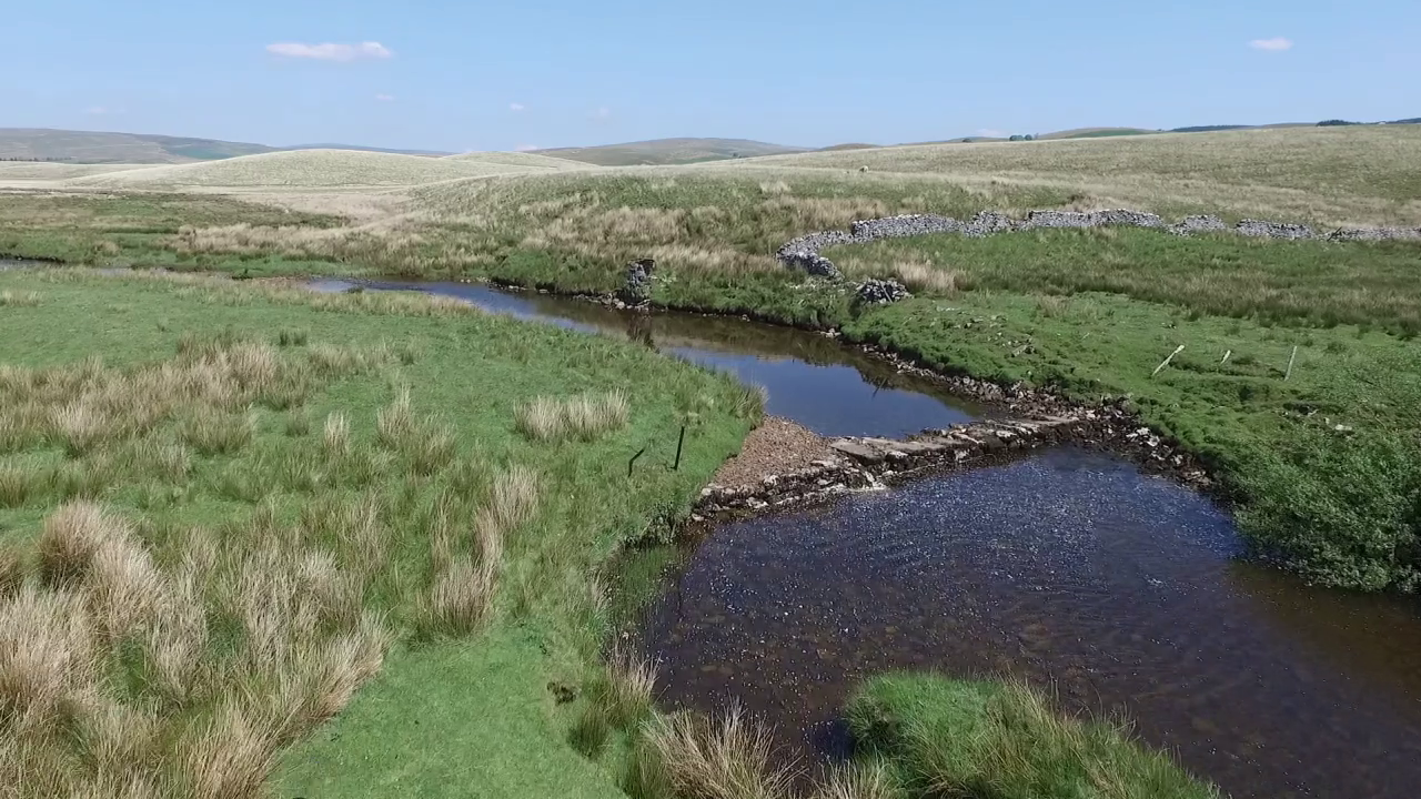
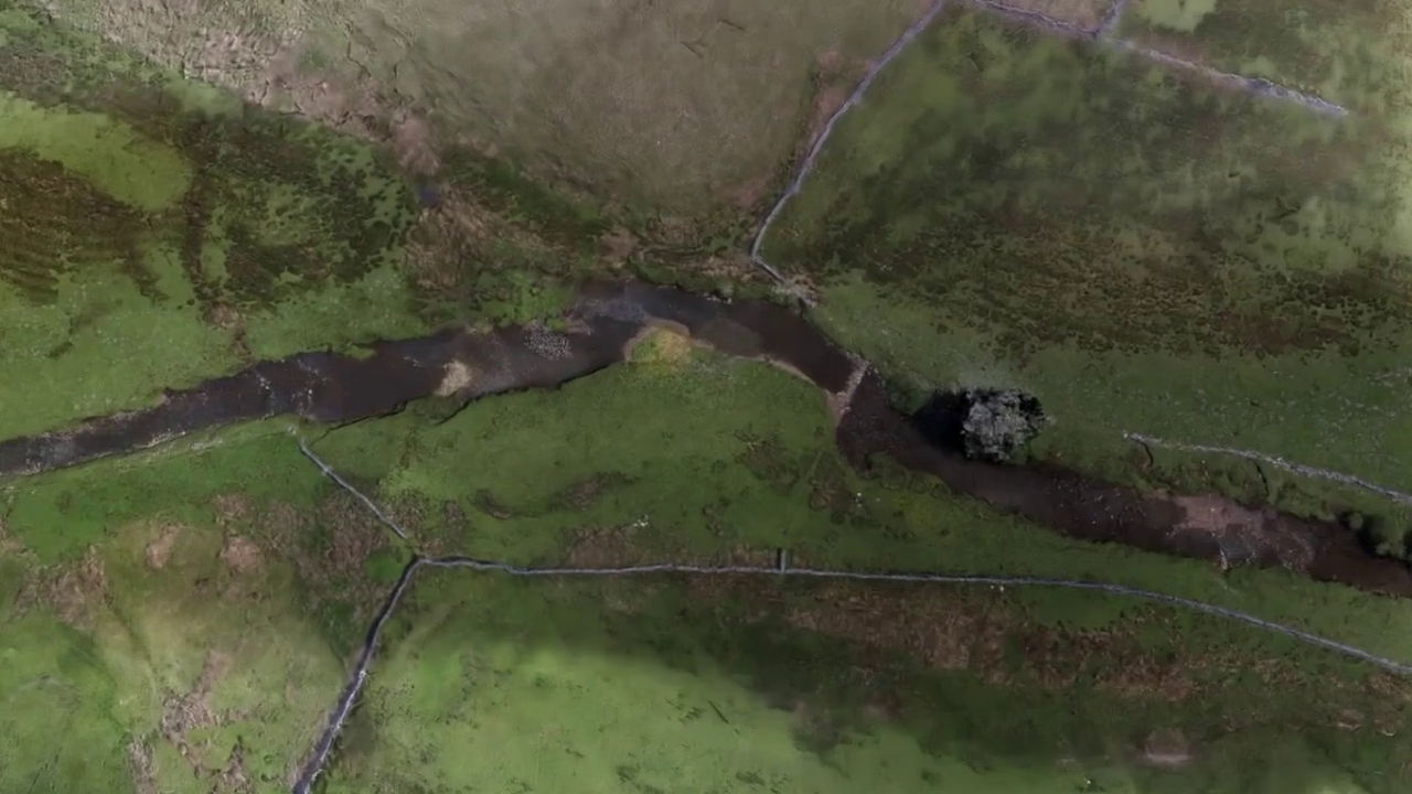
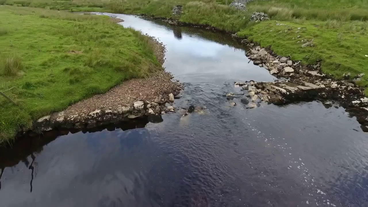
This experience underpins AMBER efforts to monitor hydromorphological changes associated to barrier removals. Here we show the removal of Selside weir in North Yorkshire, UK. Selside weir is a small barrier with a drop of about 40cm used mostly as a ford on Gayle beck, a tributary of the Ribble river. The small height of the barrier and the gravelly substrate result in a partial loss of connectivity as high flows overtop the barrier whilst low flows must pass through the substrate. AMBER scientists began by carrying out a drone survey of a 400m stretch centred on the barrier in the month prior to removal. Generally, the first step in the processing of drone imagery is SfM-Photogrammetry. The construction of the full 3D model for the site is a required step in order to align and combine the imagery to produce an image with a known scale that can be used in mapping procedures. This starts with a cloud of 3D points that are linked in a so-called ‘Triangulated Irregular Network’. This network of points can be refined to cm-scale resolutions and coloured as shown in the images.
In order to assess fish populations before the removal, a quantitative triple-pass depletion electric fishing survey was undertaken on 1st June 2017. Stop nets were used at the downstream and upstream limits of each survey section to ensure a closed fish population. Species richness was low, with only four fish found in total for both sections, in which Eurasian minnow (Phoxinus phoxinus) and bullhead (Cottus perifretum) were most abundant. Except for minnow, fish density was greater directly downstream than directly upstream of the weir, especially for brown trout (Salmo trutta). Body length was similar between downstream and upstream sections, per species.
Repeat surveys of both habitats and biota are central to any monitoring program. Selside weir was removed in June 2017 and a second drone survey was carried out to acquire a similar dataset. AMBER scientists will now begin to extract detailed information from the dataset. Algorithms initially developed for manned aircraft will be adapted to drone imagery and thus allowing us to extract channel dimensions, bed material grain size and depth. In addition, advanced image analysis methods will allow us to derive objective and reproducible habitat. The AMBER drone data also contributes to our outreach program. Conventional drone footage and the richness of the 3D products allow us to make an innovative combination of computer generated image animation and aerial footage. Using advanced and open-source 3D animation and simulation software, a film was produced for the Ribble Rivers Trust in order to assist them in publicising the benefits of barrier removal in modern river management. AMBER will continue to monitor this site over the next 2 years and give further support to the Ribble Rivers Trust in demonstrating the value of barrier removal.