The AMBER Barrier Atlas
The European River Barrier Atlas
Adaptive Management of Barriers in European Rivers
AMBER seeks to apply adaptive management to the operation of barriers in European rivers to achieve a more effective and efficient restoration of stream connectivity.
To do this, we are developing tools, models, and toolkits that will allow hydropower companies and river managers to maximize benefits and minimize ecological impacts. This will improve energy security, help protect jobs, and boost European competitiveness, particularly in rural economies.
This project will also help protect global biodiversity in rivers by decreasing fragmentation, promoting habitat connectivity, and evaluating the merits of different restoration actions through developed tools.
The AMBER Barrier Atlas and the Citizen Science portal (AMBER Barrier Tracker app) are managed by The Blue Rivers Foundation.
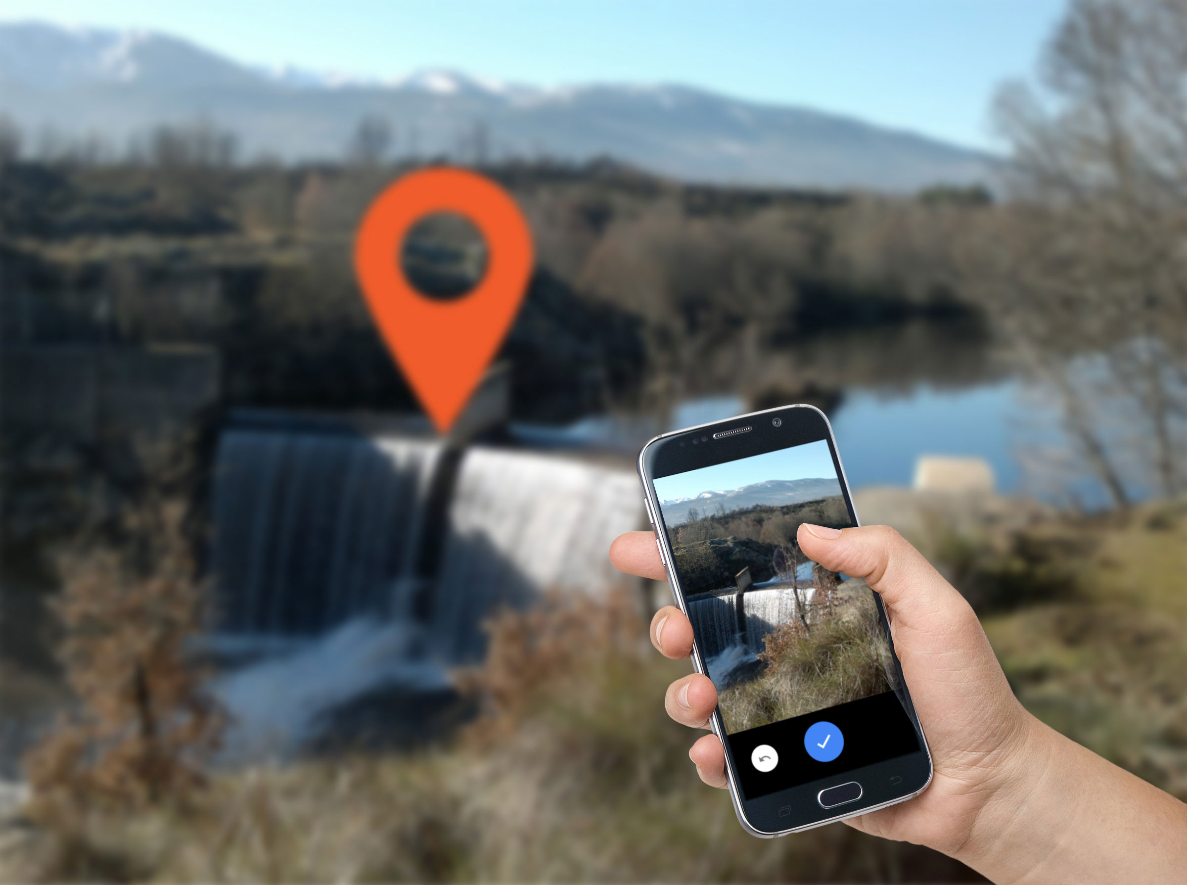
The Barrier Tracker app
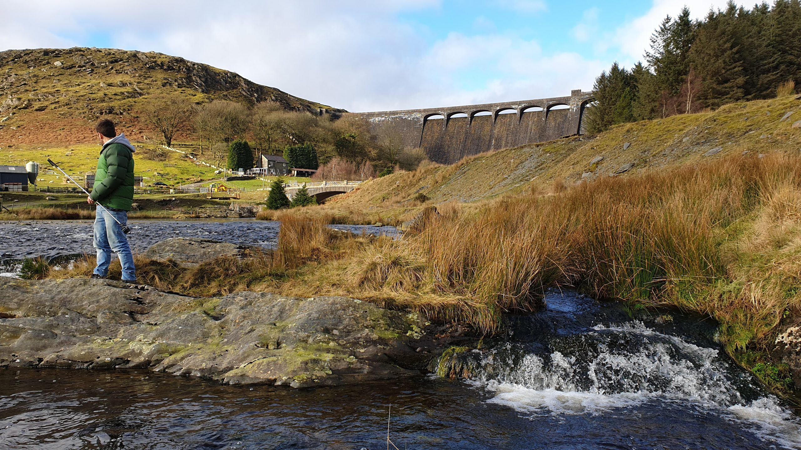
With the Barrier Tracker app you can help us identify barriers in any river!
Using the app helps gather more data and provides greater spatial coverage than would have been possible using conventional surveys. Typical data gathered include a photo of the barrier, the location of the barrier and the height of the barrier. This Barrier Tracker app is part of a larger citizen science program that is needed to help build and expand the barrier ATLAS.